Drones coupled with big data and photogrammetry software provides a more cost-effective and accurate method of determining the volume of materials.
Visibility of your entire site.
Aerial surveying uses drones to capture geo-tagged imagery of your entire site. These high-resolution images are uploaded into photogrammetry software to generate a high-resolution orthomosaic map, point cloud and 3D model. This provides greater site visibility and substantially more data points than traditional ground-based GPS surveys.
Large area 3D mapping
Aerial surveying covers larger areas than a typical ground-based survey crew in the same amount of time, reducing costs almost in half. Drones also allow for the capture of high-resolution visual information, 2D and 3D models which can be annotated and shared.
Work safer
Ground-based methods can put surveyors in high-risk situations, for example, next to steep slopes on active piles. Drones allow for much safer operations, where the pilot can be positioned in a safe location.
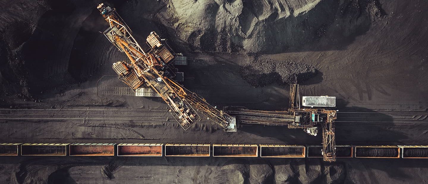
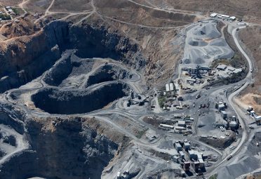
Mining Solutions
During and post-flight, data can be processed through our specialist software Smart Data to produce Ortho-mosaics, digital surface models and three-dimensional representations of mine sites, which can then be viewed and annotated, without the need for specialist software on the customer side. Engineers can use this data to measure distances (m), areas (m2), stockpile volumes (m3), create polygons, place identifying markers, identify latent machinery and add annotations using a standard browser, that can then easily be shared and commented on.
Drone Surveying
Drones can provide easier, safer, more accurate surveys used across a number of industries.
Find Out More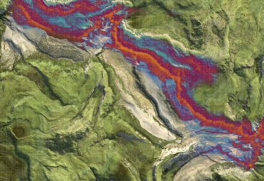
LiDAR
LiDAR (Light Detection and Ranging) provides more accurate Digital Terrain Models, especially for areas that contain dense vegetation.
Find Out More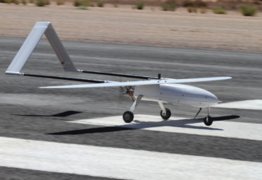
BVLOS
To complete BVLOS (beyond visual line of sight) flights in Australia, CASA requires a review of the operators policies, procedures, risk assessments and manuals. National Drones has approved systems and procedures to conduct BVLOS operations and has successfully been involved in and completed a number of BVLOS projects in Australia.
Find Out More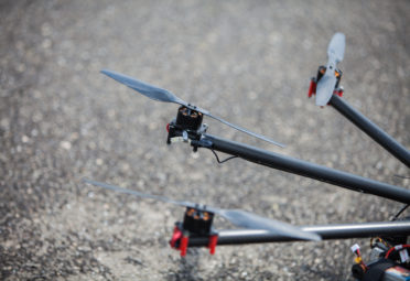
RPAS Training
All our RPAS training courses are CASA-Approved, ensuring the quality of our instruction and adherence to industry requirements and standards. Whether you’re an experienced RPAS pilot seeking certification for commercial activities or a complete beginner wanting to learn how to fly an unmanned aircraft, you’ll get the necessary training to get your drone licence.
Find Out More